Port Talbot Town Heritage Trail
- Port Talbot Town Heritage Trail
- Vantage Point 1: Carmel Chapel, Riverside
- Vantage Point 2: Bethany Square
- Vantage Point 3: Glanafan School, Station Road
- Vantage Point 4: The Grand Hotel
- Vantage Point 5: The Plaza Cinema (Grade II Listed)
- Vantage Point 6: The Station Square
- Vantage Point 7: Aberafan Bridge (Grade II listed)
- Vantage Point 8: The Civic Square
- Vantage Point 9: Aberafan Shopping Centre
- Vantage Point 10: St.Mary’s Churchyard
- Credits
Vantage Point 9:
Aberafan Shopping Centre
Until the mid-1970s this area was Water Street, Church Street, Walnut Tree Lane etc. It was a series of busy streets full of shops, hotels, chapels, the town hall, a theatre and the market.
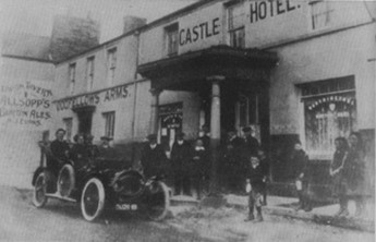
The Castle Hotel and the Oddfellows Arms
It is easy to forget that Aberafan was originally a market town, smaller than Neath or Bridgend, but still busy. Talbot Square was once called Cattle Street, and there was a Butter Street and a Duck Street, (which later mysteriously changed to Duke Street!) and no doubt others, in the days before an actual cattle market was provided in what is now the car park next to St. Mary`s Church: (See 10). Later, there was a large indoor market on the site of the cattle market in Water Street.
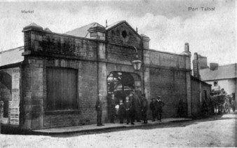
Aberafan Indoor Market, Water Street
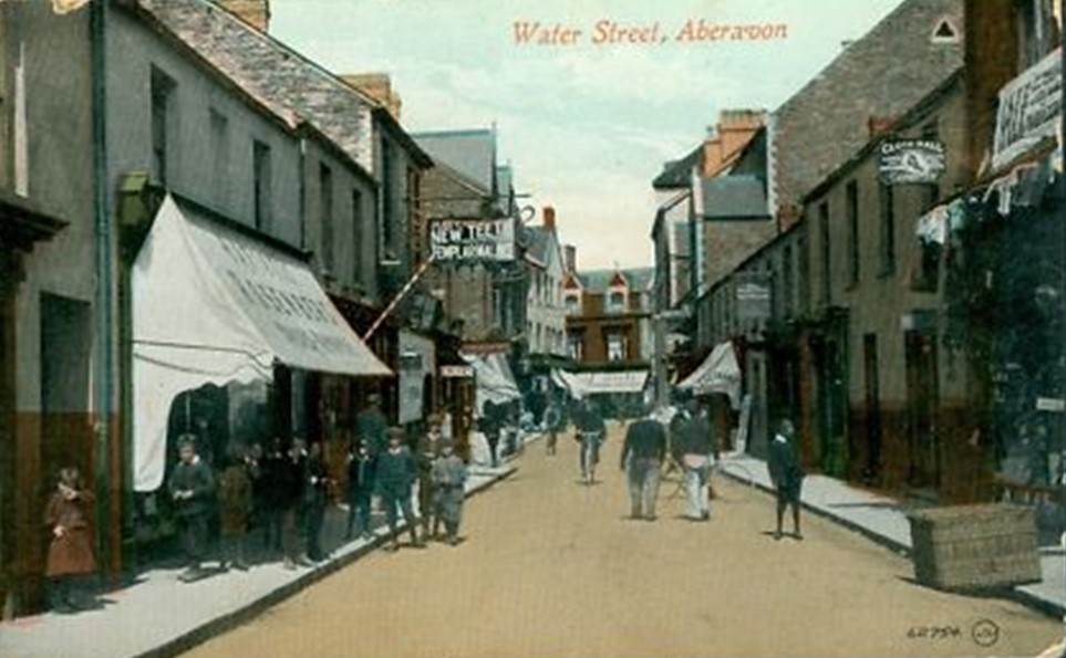
Water Street 1905
As cars became more common, traffic built up in this whole lively shopping area. In the early 1970s it was demolished to make way for the shopping centre and car park.
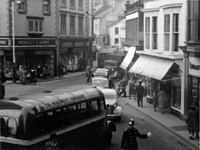
High Street in the 1950’s
Exit the Shopping Centre at the right-hand side of Costa Coffee Shop to walk towards St Mary’s Church.
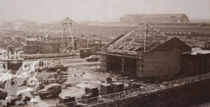
Building of new chapels to replace those demolished in 1974
Carmel Chapel (L) and Water Street Chapel (R)
Where the Aberafan Shopping Centre opens out to the area next to the railway line was the site of the Borough’s Municipal Buildings, opened in 1915.
Walk under the railway bridge to the car park next to St. Mary’s Church. This area was once the town’s cattle market, and later the site of the indoor market, in what was Water Street.
Walk past that and you will find St. Mary’s Church. And find the last QR code sign 10 on the churchyard wall near the gate.
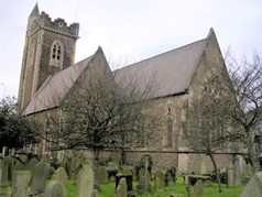
Church in Wales church of St Mary the Virgin, Port Talbot
